The first step in effective longterm coastal management is the identification of areas that could be adversely affected by variations in sea level and air temperatures due to long and short term climate change. To identify areas at risk, a set of three coastal hazards databases for the United States east, gulf, and west coast have been, or are currently being, compiled. The databases contain seven data sets with information for 2 to 4 km coastal segments. The data sets (i.e., relative sea level trends, wave heights, elevations, tidal ranges, erosion or accretion rates, coastal geomorphology, and geology) contain several individual variables (e.g., minimum, mean, and maximum wave height).
One variable from each set was selected, classified, and gridded into 0.25 x 0.25 degree cells based on each variable's perceived significance in determining the vulnerability of an area to increases in sea level or erosion. The seven classified variables were then used to calculate a Coastal Vulnerability Index (CVI) of which several were tested. When the CVI values were mapped for the U.S. Southeast the index identified the barrier islands along the North Carolina, Texas, and Louisiana coast, as well as the Louisiana mainland, as being at high risk to local sea level rise and coastal erosion.
The CVIs produced by this database were used to identify locations where more detailed impact assessments should be conducted. Such assessments require analysis of population, employment, and land value trends as well as other socioeconomic information.
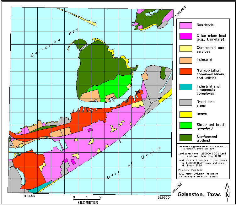
Assessment have been conducted for several high risk sites on the Gulf Coast. The following example shows some of the information used to analyze the possible impacts of sea level rise and coastal erosion on Galveston, Texas.
Four sea level rise scenarios were derive and applied to the study area. Three are based on the IPCC 1990 low, moderate, and high business-as-usual scenarios and the fourth is based on the assumption that current trends will continue unchanged. The amount of land that would be lost to the sea under each scenario was then determined (values in hectares).
When human intervention is taken into account the actual amount of land that will be lost may be reduced by 50%. The letters shown on the current rates figure are locations where site specific determinations were made of the possible influence that built infrastructure would have on the amount of land inundated by in each scenario. Locations A, B, and E should be allowed to erod as shown, locations C and F would be held in place by the seawall, and locations D and G will require the construction of flood control structures to prevent flooding and destruction of the docking facilities.
Scenario		1990	2050	2100

Current rates		6020	4142	3410
Low IPCC		-	4010	3099
Moderate IPCC		-	3600	830
High IPCC		-	3213	729
IPCC 1990 scenarios as modified for Galveston, Texas. Sea level rise rates are in cm.
Scenario                2000    2050    2100

Current rates		6.4	38.3	70.3
Low IPCC                7.2	43.2	84.7
Moderate IPCC           10.2	61.2	119.7
High IPCC               13.2	79.2	163.7